Language
繁體中文
  • Artists
  • Stories
  • Events
    • FestPAC 2024
    • Exhibition:Remapping
    • Exhibition:New Talents
  • About Us
  • Home
  • lakec_scene
Language
繁體中文
  • Artists
  • Stories
  • Events
    • FestPAC 2024
    • Exhibition:Remapping
    • Exhibition:New Talents
  • About Us


# Scene

         馬太鞍 Fata'an


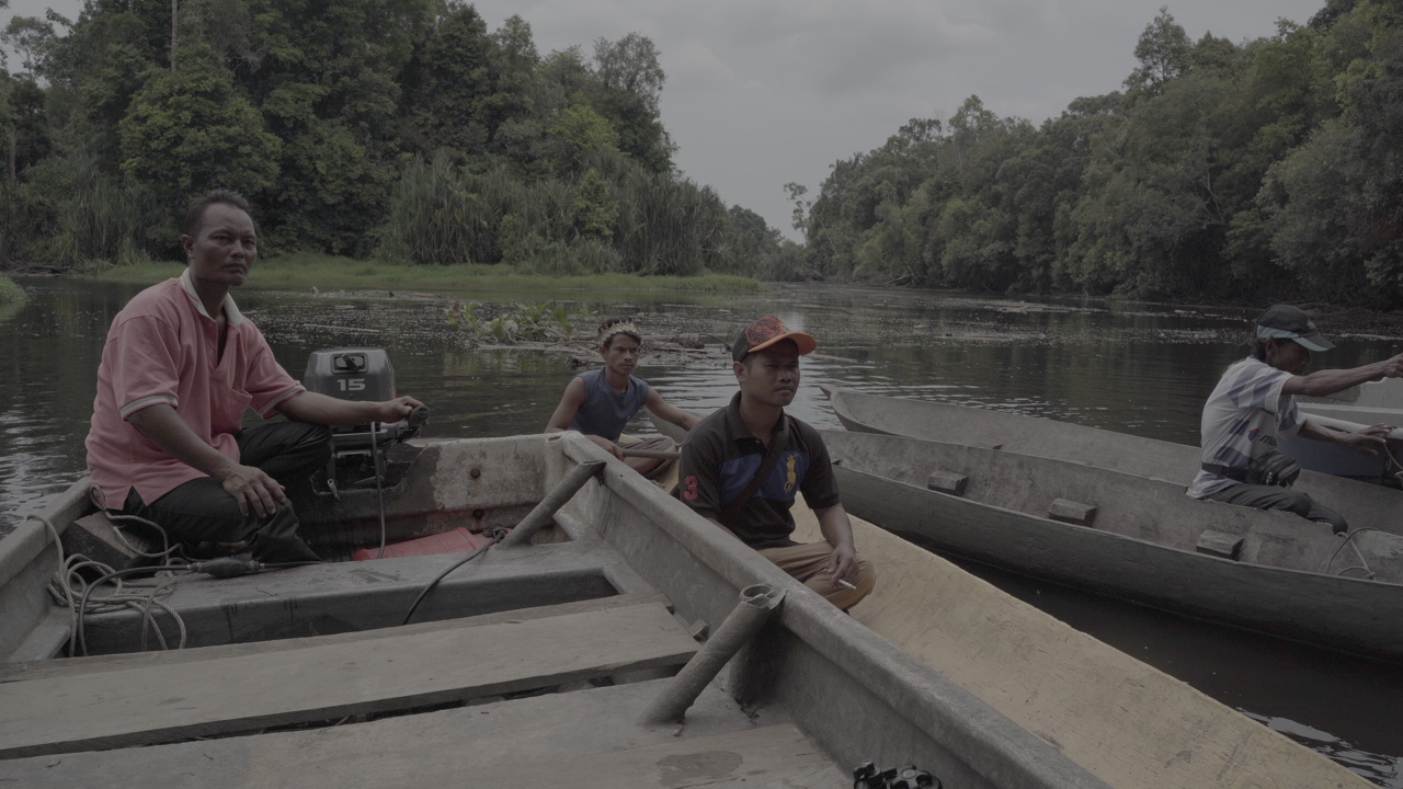
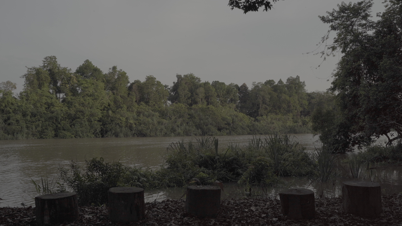
"That was the spot where people pray for rain at CIlifenam. That mountain is called Saluma'an. It is cultivated by our ancestors. Cacura'an, the highest mountain, was where our ancestors came from. Later they migrated to..."

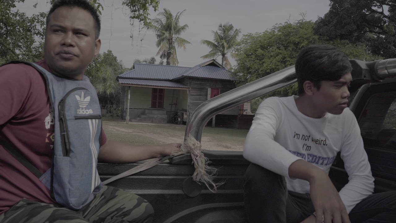
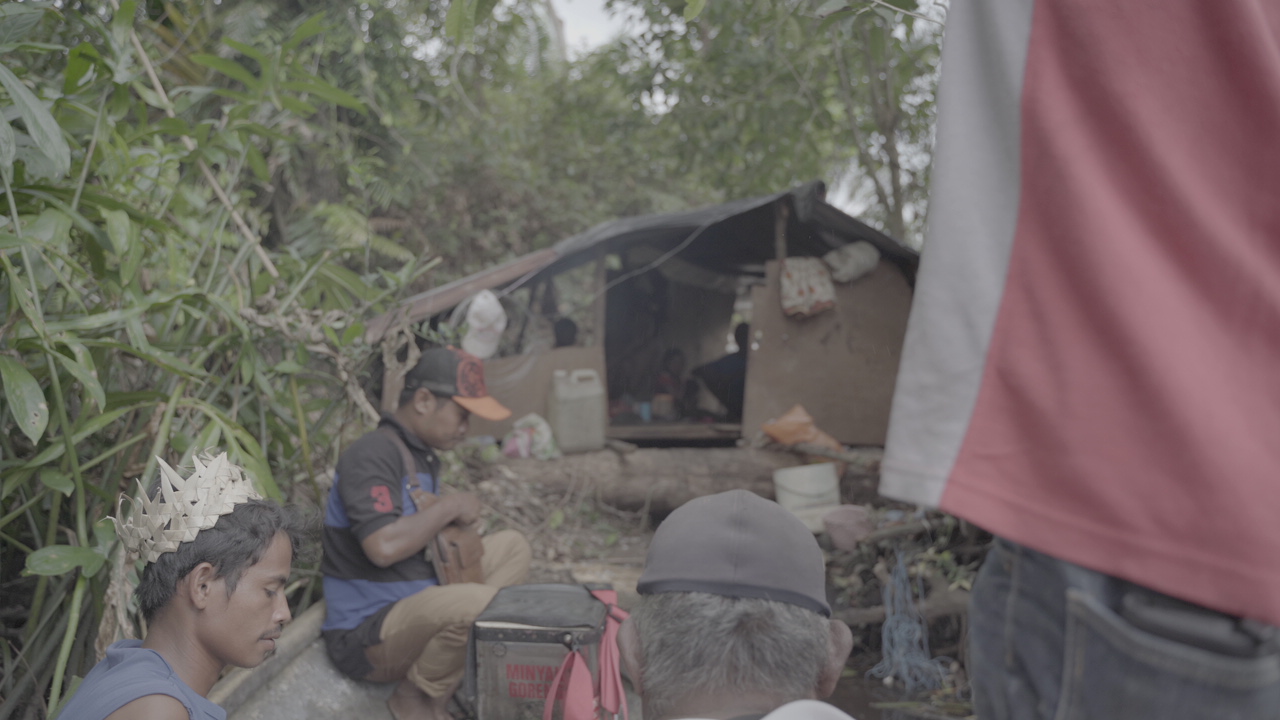
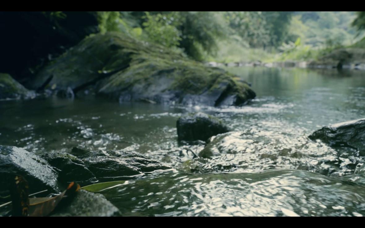
In this project, I always tried to absorb the names and places told by the elders. I was not quite sure where these places were although they sound familiar. The elders used a mixture of native language and Chinese, collective memories and personal life experiences. I gradually became clearer after I navigated these places through the river in Satefo Creek. 
 

Father and River

 
My father left the community to study and work at a young age. He brought us back to Cilifenam (Jilitan/ also known as the Big Pond) and told us what this place was like from his memory. He said fortunately that some places still remained the same so that he could trace his childhood memories of catching fish, mussels, and picnicking there.


​Cilifenam


Cilifenam used to be the place where Fata'an people prayed for rain, picnics, and catching fish. Most people from Fata'an have the memories in Cilifenam. Cilifenam was later reconstructed with a Chinese-style bridge and a pavilionand, and named Jilitan in Chinese.  We had to cross the artificial landscape and walk deep across the shrub, then we can take a glance at what used to be a lush waterfall and water reserve. There was still a small pool of water to swim in.

Fata'an Activity Center


The activity center in Fata'an is also a "Health Station" for the community elders. At daytime, all sorts of electronic scooters moor at its door. This is also where all kinds of meetings and discussions in the community are held. 
The elders are busy making plates for the Ilisin (Harvest Festival). They use the traditional method, soaking the betel nut sheaths in water, drying under the sun, and then making them into bowls and spoons. The finished products look like small boats, lining up in an orderly manner on the platform waiting to be dried. Heat-resistant and waterproof, they are betel nut sheath tableware (cifar).


This is the place where the elders, the living treasures of the community, not only help out each other in making handicrafts but also discuss and make up their minds on things happening in the community.

         小碧潭部落 Xiaobitan Community

 
Indigenous communities have always been part of the city. They live in marginal areas, farm the lands, and provide their labor services in many new city constructions. They’ve experienced frequent monopolization, discrimination, and exploitation, and such stories know no borders. In order to take care of themselves, many people gathered together and reclaimed their homes on this "wasteland."
 

Photos of the Past 


There was a couple who initiated the land reclamation process of the Xiaobitan community. They weeded the land and built rock by rock. At the edge of the city, they are migrants searching for a new place to live on the riverbank, and in their hearts, they were wanders who had never broken the tie with their homeland. These photos taken 50 years ago were not only recorded a new chapter of their life, but  also documented what’s their takes to survive.
 

These photos were the archives of the land reclamation process of the Xiaobitan Community. According to the elders in the community, there had been a big fire that burned out most of their houses. Since their houses are mostly constructed by wood or found building materials, the documentation and the photos of their early community activities and reclamation processes were mostly gone. These are few photos left that have been preserved until now. 

Vegetable Garden


In the past, every family in the Xiaobitan Community owned a vegetable garden. In the past, the Xindian River not only supplied their domestic water but also irrigated their vegetable gardens. As an urban Indigenous community fought against the government’s land acquisition and relocation policies, they eventually got to keep their houses. However, with the continuous construction of the riverside park, these vegetable gardens were still forced to be demolished or relocated from the riverbank.
Grandma Wusay took us to one of the remaining vegetable gardens that were hidden in the riverside park in Xiaobitan.

Grocery Store


There is an assembled grocery store in the community. It functions as their activity center. With its open kitchen, everyone can share food and cook together. Additionally, it became the mailroom, info exchange center, and babysitting place for the public. Often, community residents would pull up their chairs and gather there. 

The grocery store has also become the main place for us to enter the community. We socialized and held activities there. Inside the grocery store’s open kitchen, Ina (mother, aunties, also refers to senior women) introduced us to the dishes they brought from home. They spoke sometimes in Chinese and sometimes in the Pangcah language. There are lukiu (Glittering Chives) selected from the vegetable garden near the riverbank, sukuy (Gấc) spontaneously picked from the roadside, and the tayaling (Pumpkin Tree) brought by friends from Guangfu Township in the east coast of Taiwan. I was surprised that Ina could endlessly take out wild plants from their homes and make meals for us.
 

Ina explained to us excitedly how the previous generation found this piece of land near the river bank. They shared the experiences of how they cultivated the land, how they built their own houses and vegetable gardens with discarded building materials, and the reality of how they lived in such environment filled with discrimination, accommodated a life together without water and electricity, participated in the land movement, and rebuilt homes after the fire. 


         Jemeri, Malaysia


From Jemeri to the boat on the Jon river 


"It takes 4 to 5 hours to paddle across the river from Jemeri to Jon. With cars, it only takes half an hour." Os said to us with a smile. That's why there is hardly anyone building ships anymore. Now everyone is driving on land with great proficiency. In order to let us experience life of the past, he used rowing boats to propel in rivers. He took us from Jemeri, a location near the main river course, to Jun, which is near the tributary. Os said that they had two types of boats. The boat we took is made of one integral tree trunk. It is light and strong. The other kind of boat is made of bark, which is very thin and simple. It is as simple as folding the bark into the shape of a boat, and the downside is neither durable nor reusable. They told me in English that it is a "plastic boat".

The Sacred Place


We were taken to “The Sacred Place” before we tried to introduce ourselves when we arrived Jemeri Activity Cente. The inhabitants drove us to Jemeri river. We were asked to greet river god, we should introduce ourselves and explain what we planned to do here. After we got there, we were not informed to follow any ritual. Instead, everyone came to us enthusiastically and shared their stories about the river. Then we interviewed some of them. I was fiming the environment after our interview with the elder Dobi. I found Dobi was far away sitting on a tree stump talking to the river. He spent a very long time talking to the air as people chat arnoud.  We decided to ask him why he was talking like that when we went back to the center. Dobi said he was talking to river god about us. During our stay, I have seen many other inhabitants doing the same thing as Dobi did.
  • This area is known as the sacred place full of spirits in Jemeri.  The inhabitants here still hold their faiths in forest river spirits here, even though they no longer rely on rivers to make earnings or travel.

  • "As long as you hold your faith on the spirit, you will see water lowering and the spirit lying on a big stone. Sadly we don’t see it today." The residents said. We did not see that big stone that day.  

Helicopter Parking Ramp


Helicopter parking ramp was set up during the British rule. We were told that this ramp was built in order to drop medicines to the area. The similar facility can also be found for some Indigneous communities located in deep forest. Helicopters bring sometimes medicines,  sometimes woodcutters here to investigate the natural resources. This ramp is located in the historical site of an elementary school. It enhances and fastens the contacts with the outside world.
  • During our short visit to Jon, we were taken to the helicopter parking ramp. I asked why they want us here. Thy told us “This place was built by outsiders. The government once set up a school and a parking ramp here. These facilities are for them, the evidence of official recognition, they are testimonies indicating that the government admitted their existence as the original inhabitants of this land.

 
Script
Visitors 156177
PulimaLink is Supported by Indigenous Peoples Cultural Foundation
TEL:+886 2788-1600 TEL:+886 2788-1600 FAX:+886 2788-1500 Email:pulimafestival@gmail.com Address:5F., No.120, Chongyang Road, Nangang Dist., Taipei, Taiwan